

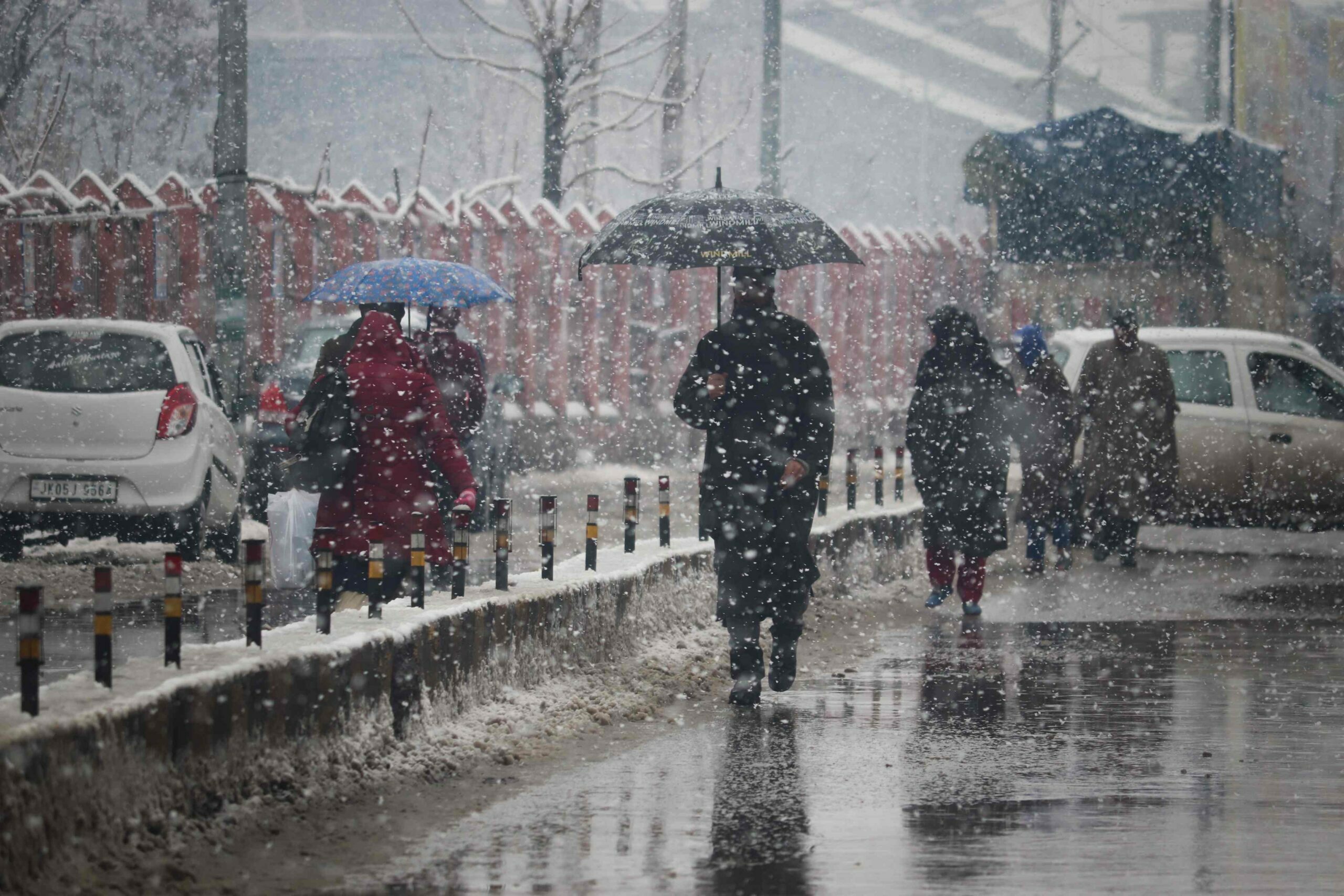
The parts of Jammu & Kashmir are all set to receive another wet spell from January 11 as a fresh Western Disturbance (WD) would likely affect the Union Territory and adjacent areas from Wednesday afternoon.
Also Read: 1.75L Indians to perform Haj in 2023; highest in history
Talking to the news agency—Kashmir News Observer (KNO), Deputy Director Meteorological department (MeT), Mukhtar Ahmad said that a fresh active WD would likely affect J&K and adjoining areas from 11th January afternoon.
He said that under the influence of WD, there is a possibility of light to moderate rain/snow (Rain in plains & light snow over higher reaches of Jammu division) most likely at most places of J&K.
As per the forecast, he said that the moderate snowfall intensity will be over higher reaches (isolated heavy over higher reaches of Kashmir especially Keran, Machil, Gurez, Tulail, Sonamarg, Gulmarg, Pahlgam, higher reaches of Budgam, Higher reaches of Shopian and Kulgam) with main activity during late 11th night to 12th late night and gradual decrease thereafter.



He said that the surface transportation over higher reaches would get affected during 12th January.