

New delhi, Jan 14: India has strongly raised the issue of the inaccurate depiction of Indian map showing union territories of Jammu and Kashmir as well as Ladakh separately by the World Health organisation (WHO).

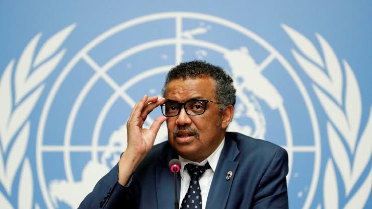
The matter was raised by Indian envoy to United Nations in Geneva, Indramani Pandey, with WHO DG Dr Tedros Adhanom Ghebreyesus.
In the letter, the top Indian diplomat expressed his “deep displeasure” at the “inaccurate depiction of the boundaries of India in the maps of various web portals of WHO”. He called for DG WHO’s “immediate intervention” for “removal of maps” which have been inaccurately depicting the boundaries of India and replacing them with “accurate maps”.
This is the third time India has raised the matter with WHO in a matter of a month. Previously, there were two times the Indian mission to the UN in Geneva had written to WHO DG, and now with the envoy himself raising it.
The Indian Envoy in the letter pointed this out, saying, “I draw your attention to our previous messages sent to WHO pointing out similar inaccuracies.”


